Zebra Maps
Electronic maps watch every spot of this earth from a drone’s perspective. The need for printed maps has seemingly been eliminated.
The drone sees no borders or conflicts, no interpretation of who cherishes which land or landscape or who loves the spot observed. Maps have always interpreted reality and who’s viewpoint they wanted to present.
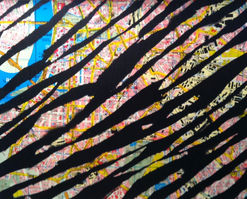
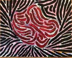
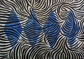
Zebras have eluded domestication; their stripes supposedly create a fuzzy appearance to their predators. Just like a painting or photo that is blurred –making it more open to ambiguity.
Stephan’s zebra maps combine the map makers interpretation while hiding or exaggerating parts of it. Stephan has made zebra maps relating to many city maps and road maps as well as others favoured by cartographers. His first zebra maps applied zebra-like stripes to maps. Later he started to interpret borders - real ones as well as fictitious ones and at times even added “objets trouvée”.


